Professional Aerial 3D Mapping, Photography & Videography
What We Do…
Our unique services will enable you to easily capture every angle of your jobsite, using 3D modeling to track your projects from start to finish from the air giving you more accurate data, enabling smoother project tracking to suit multiple business needs.

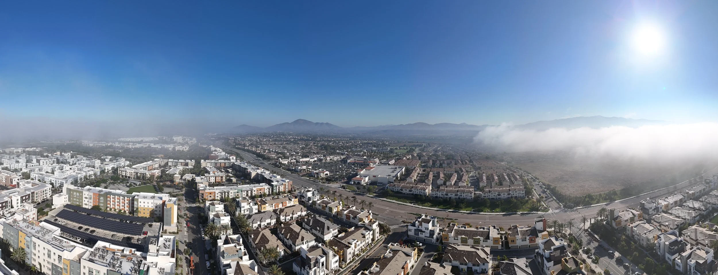
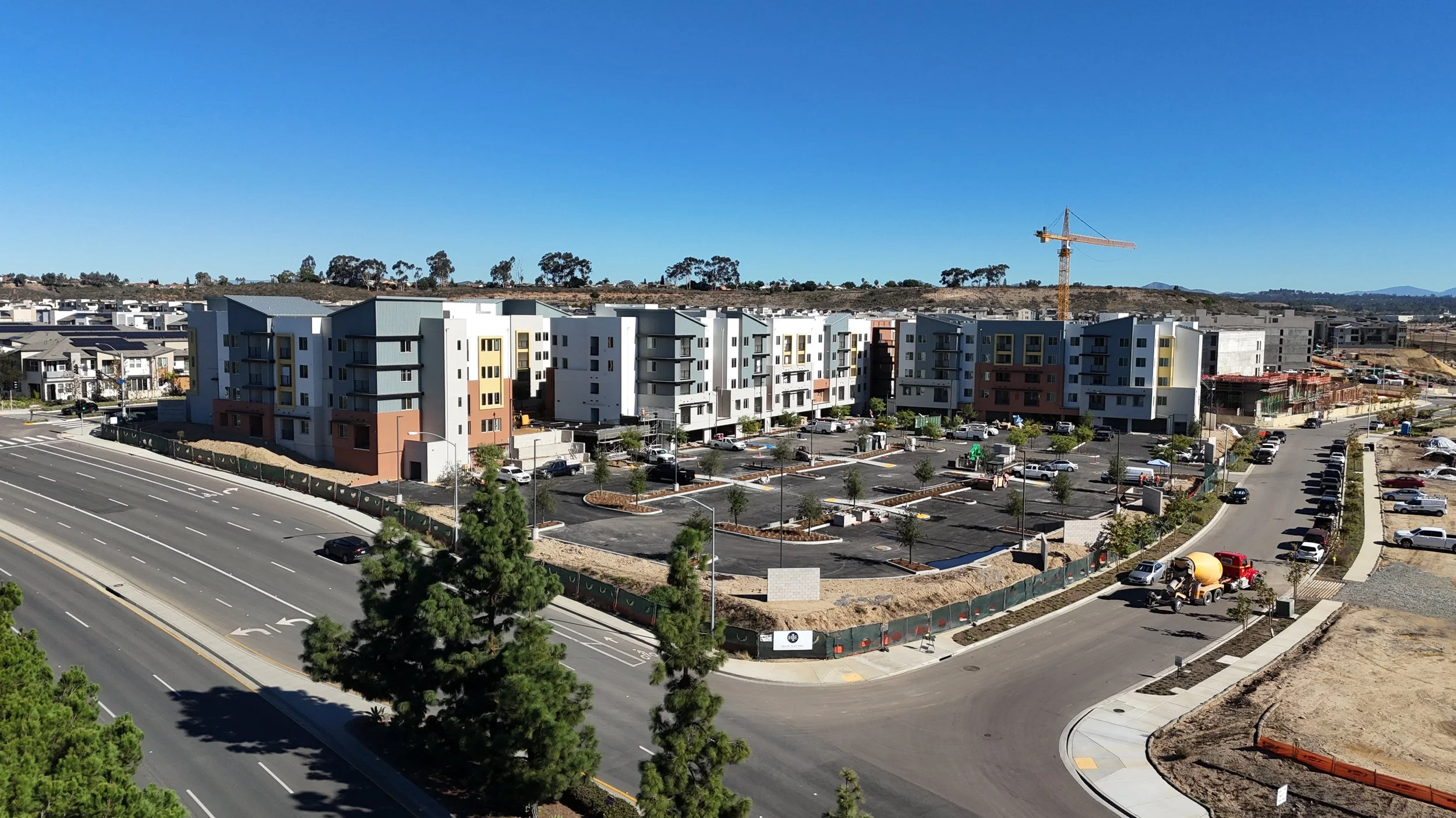
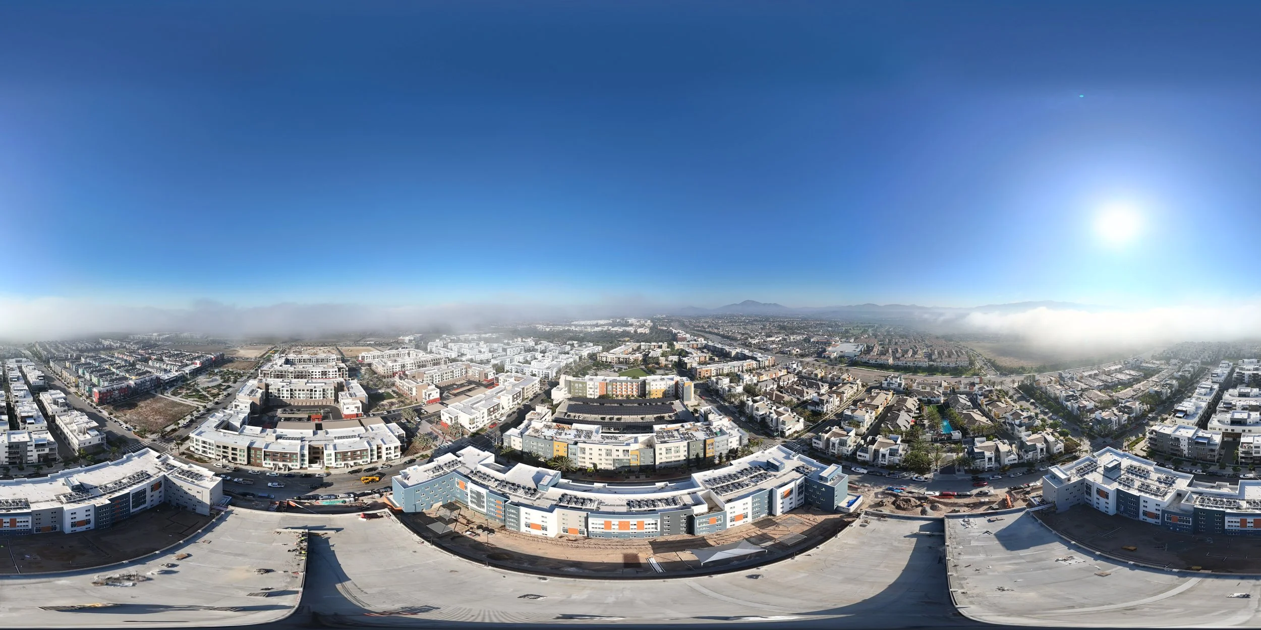
Aerial Videography
High resolution videos and photos of your jobsite provide you with continual job site tracking, enabling a variety of angles and perspectives, giving you and your team total jobsite visibility. Keep your stakeholders up to date, teams on track or even as creative marketing content using our breathtaking flyer over videos and high-res images.
Highly Qualified Team
INSURED
HUNDREDS OF FLIGHT HOURS
4K VIDEO & HIGH DEFINITION PHOTOS
FAA UNMANNED AIRCRAFT LICENSED
Each Project Includes
20 - 30 photos from all angles, panoramas, top down views and other bespoke shots
10 –20, 30-second video clips showcasing the project with bespoke points of view
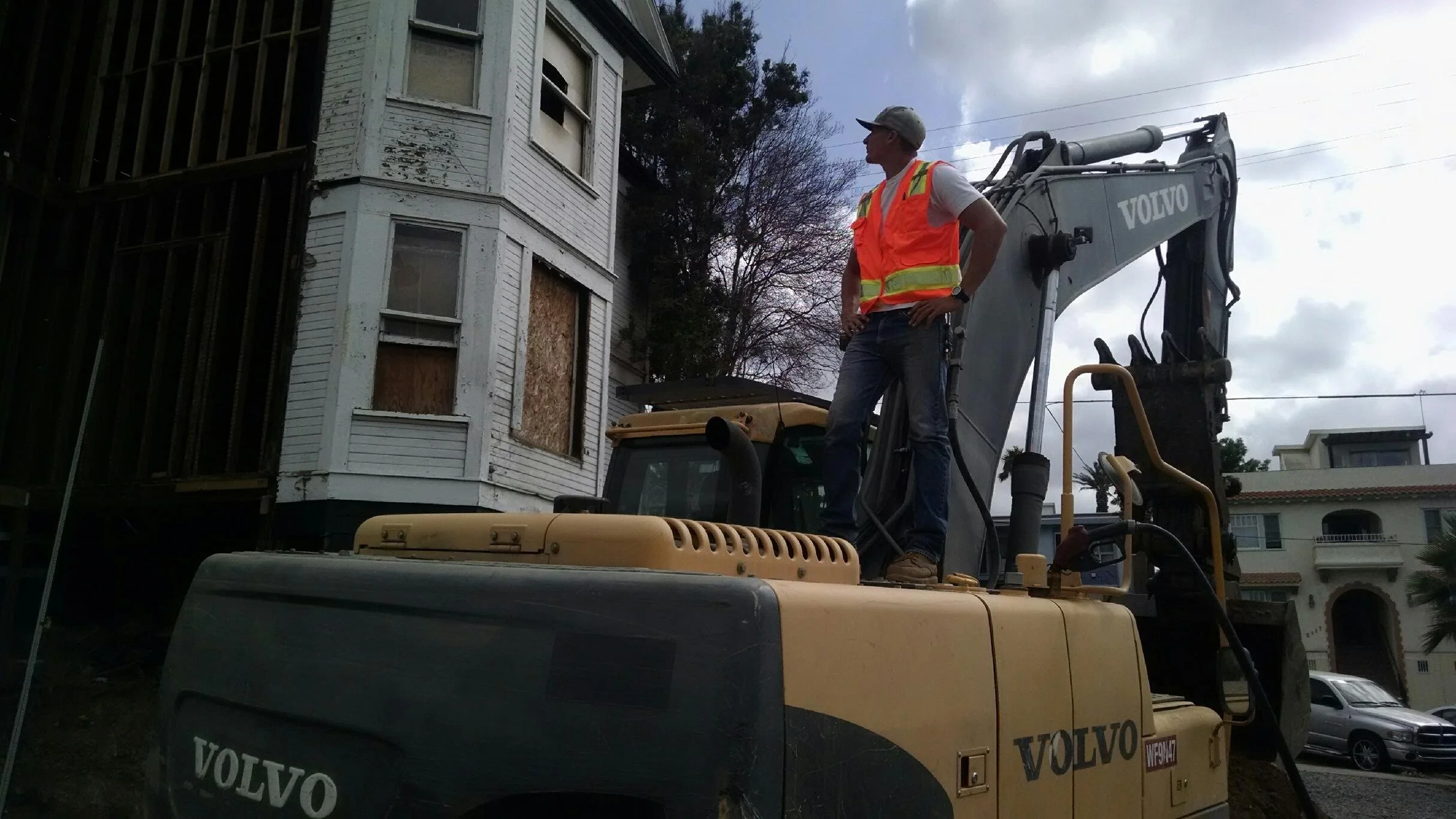
About Me
I know the construction industry inside out and have worked on construction since the age of 18, starting from the ground (quite literally) up, where I started working as a laborer across mass grading, demolition and underground projects.
I have since led teams as an operator using heavy equipment and honed my skills leading large teams across multiple heavy civil works, commercial and residential projects.
I quickly realized that across all these jobs there is a need for real time data and more precise volume metrics to better track the materials used. By leveraging my drone expertise we have been able to solve this problem and more efficiently and effectively track and measure our projects. I’d love to help you and your company succeed.

Contact
Feel free to contact us with any questions.
Email
socaldronePM@gmail.com
Phone
(619) 838-6693